AerisWeather Maps

A powerful and flexible weather mapping platform giving you exactly the imagery and map overlay tiles you need.

Full End-to-End Weather Mapping Solution

Full End-to-End Solution

AerisWeather Maps offers one of the most complete weather mapping solutions available. Maps provides the flexibility to create everything from a full weather map with base and administrative layers to transparent weather tiles, which can be integrated with your preferred mapping library, such as Google Maps, Apple Maps, or Mapbox.

View Documentation

Full End-to-End Weather Mapping Solution
Road conditions and other popular layers available

Advanced Weather Layers

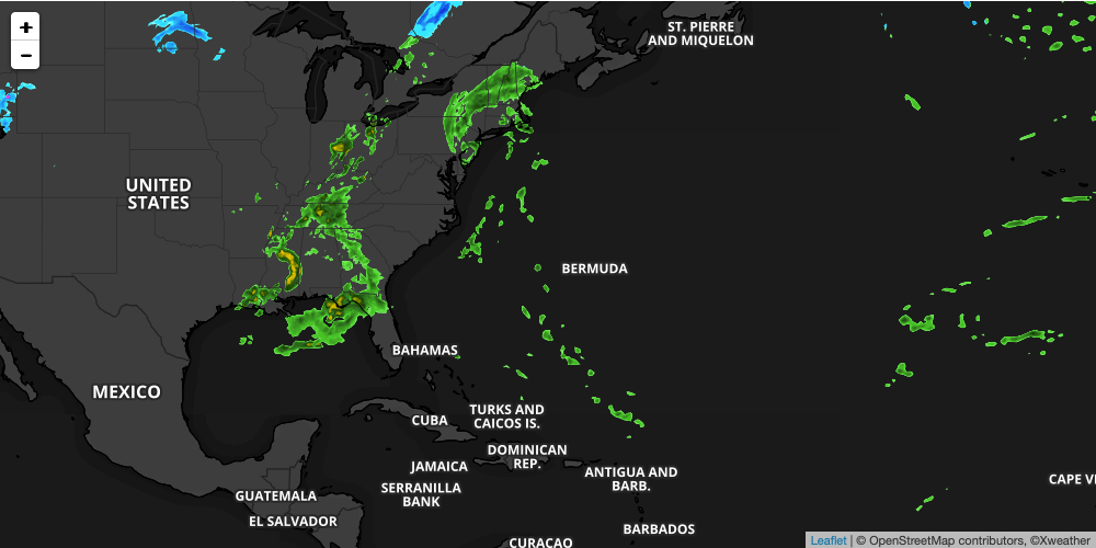
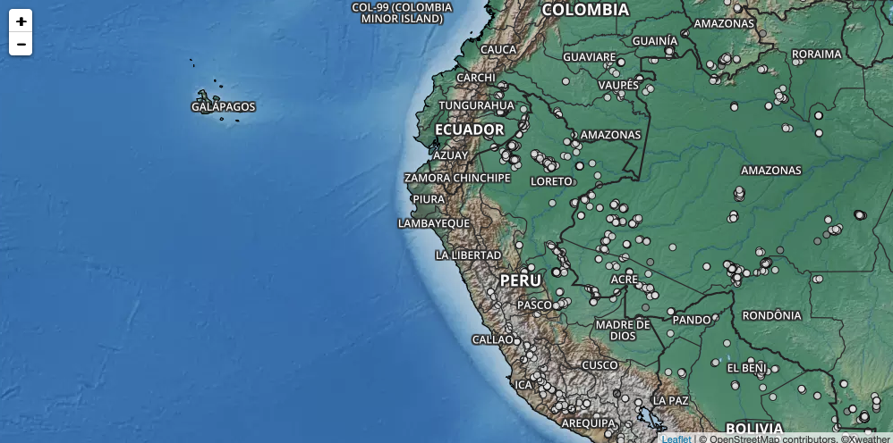
AerisWeather Maps provides access to our most popular layers such as radar, satellite, and alerts. Users also have the ability to obtain severe layers like tropical cyclones, fires, lightning strikes, and more. All AerisWeather Maps subscribers can utilize the forecast layers available within their subscribed plan(s), which also includes access to up to 30 days of historical layers.

Map Layers

AerisWeather Maps support third party mapping libraries like Mapbox, Google Maps, and Leaflet

Maps For Any Location + Style

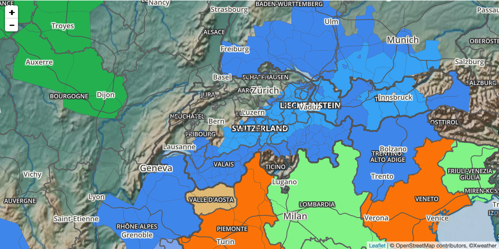
AerisWeather Maps allows you to generate weather maps for any location or region with resolutions up to 4K* (* based on subscription). The AerisWeather Maps library supports a range of styles from flat to topographic maps in light and dark colors as well as the option to use popular third-party basemaps with tile mapping support.

Examples and Integrations

AerisWeather Maps support third party mapping libraries like Mapbox, Google Maps, and Leaflet
Powerful modifiers to customize the look of your weather map

Advanced Image Features

Your AerisWeather Maps subscription allows you to customize each layer with opacity controls, image blend modes (overlay, soft light, darken, etc.), blurring effects to soften data resolutions at greater zoom levels, and color modifiers (hue, saturation, etc.), which enable effects such as blending terrain layers into weather data.

Map Layer Modifiers

Map Builder is an easy weather map creation tool

Map Builder

Your AerisWeather Maps subscription includes access to our Map Builder, which makes generating your custom maps easy for all skill levels - from advanced developers to the beginner enthusiast. Simply follow the step-by-step tool or mix and match the maps, layers, and image modifiers on your own to create unique combinations of static and tile images, and the image URL will be generated for you.

Visit Map Builder in My Account

Map Builder is an easy weather map creation tool

Free Trial Available

Try before you subscribe with a 30-day AerisWeather Developer Trial.

This trial offers nearly every Weather API and Maps feature and can be extended if you need more time to build.