
Trans-oceanic shipping
Plot your entire oceanic shipping route with live weather updates for safe, efficient passage from point A to point B. High-quality weather forecasting, severe alerts, swell, wind waves, wave direction, and significant wave periods lend to a comprehensive and weather-inclusive journey.
Javascript SDK routing module
Maritime endpoint
Tropical cyclones

Offshore platforms and operations
Storms on the sea create hazardous conditions for offshore platforms, installations, and construction, delaying buildouts or scheduled maintenance. One lightning strike can have catastrophic consequences for LNG operations or WTIV or helicopter transportation. We recommend pairing maritime datasets with severe alerts, lightning, and wind data for the safest open-sea projects.
Alerts
Conditions: Winds, precipitation
Lightning: Flash, strike, threats
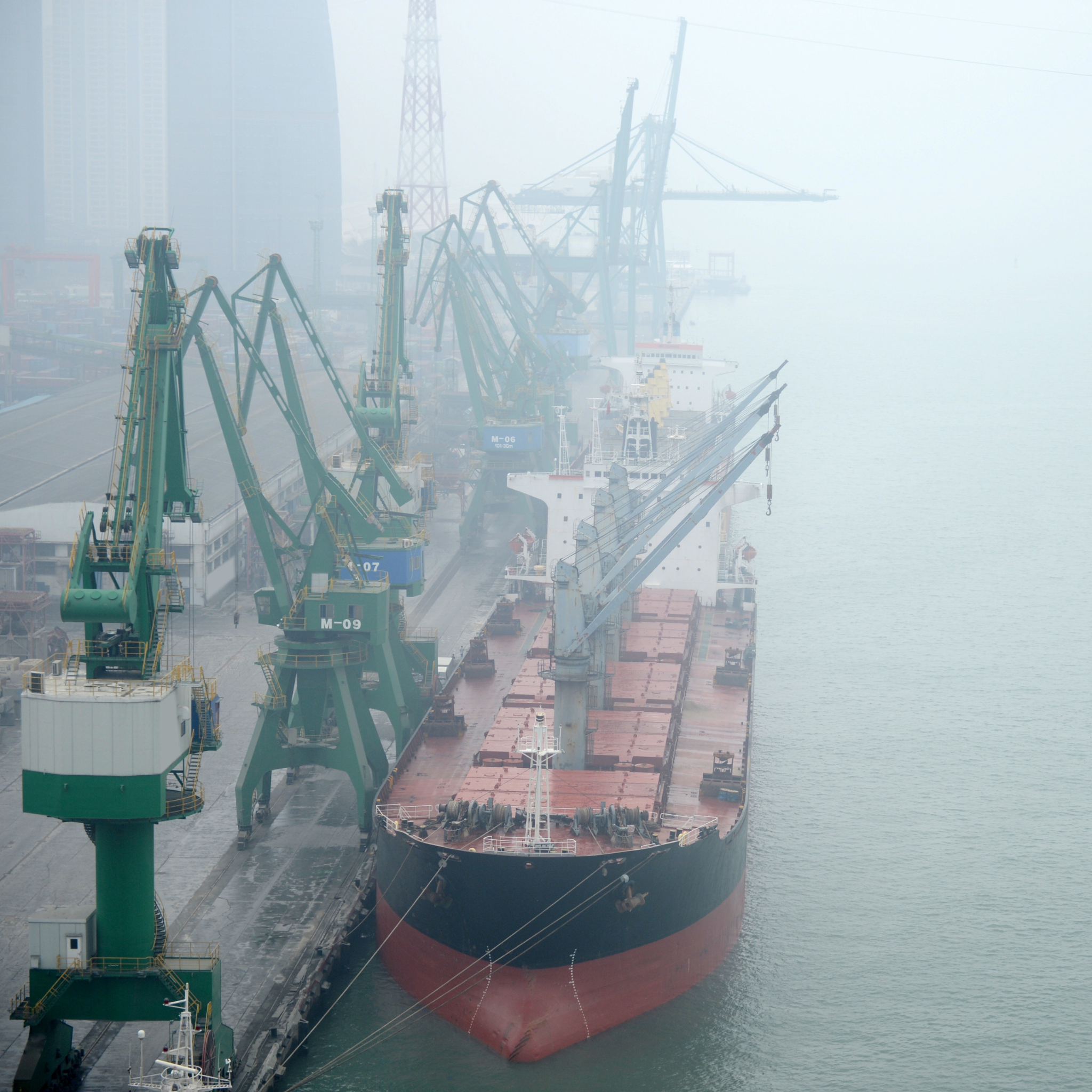
Port operations
Ensure the safe operation of crane lifts and cargo handling equipment for on- and off-loading with advanced wave, wind, and lightning datasets.
Alerts
Radar & satellite
Tides
Use case spotlight
Asset and personnel management
Keep people and equipment safe and sound on the seas. Overlay weather layers with your existing mapping applications to quickly visualize weather alerts, tropical cyclone pathing, lightning, and more to quickly contextualize assets in relation to weather threats.
Looking for a low-bandwidth solution? Check out MapsGL.