Delivery formats for every application
We make our best-in-class data available in modern and responsive ways for the locations that are important to you and your customers.
Data API
The Xweather lightning API is a RESTful API delivered in classic API format. It enables access to precise global lightning data, providing you with everything you need to integrate location-specific lightning data into any web, native, or mobile application.
Webhooks push
Receive push data in near real-time as lightning occurs. Simply provide an HTTP URL for our webhooks system to push data to your application. Webhooks are compatible with all of our lightning endpoints.
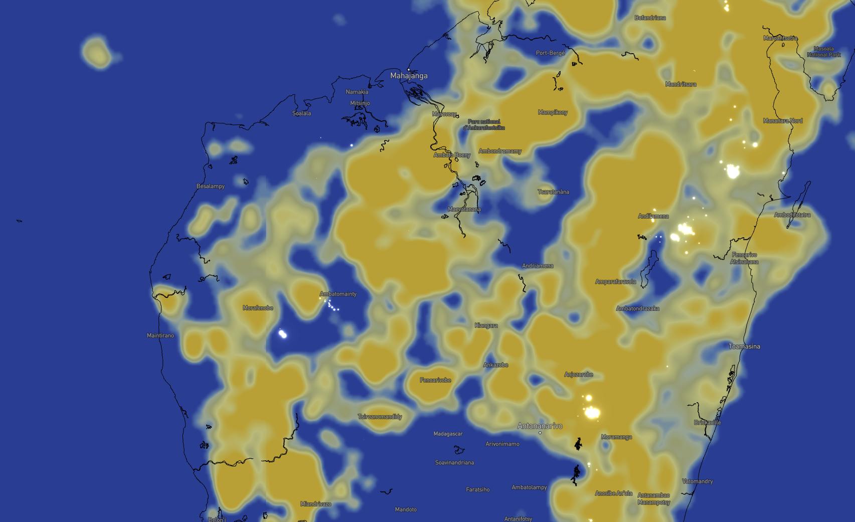
Maps (raster + vector)
Visually monitor approaching storms in relation to your most critical assets. Whether you choose our raster maps or MapsGL, our vector mapping solution, our developer-friendly mapping platforms provide the flexibility to generate a full weather map or transparent tiles that can be integrated with your favorite mapping libraries like Leaflet and Mapbox.
Visualize lightning threats in stunning clarity
Harness our API-powered MapsGL vector mapping to create gorgeous visuals of lightning and other weather threats.
Smooth animations
Overlay our gorgeous, comprehensive animations with a map of your own critical assets to contextualize lightning data at a glance to quickly understand potential impacts.
Full customization
From colors and animations like flashes, adjust your lightning display on the go to suit your application’s needs.
The industry's most robust lightning API
When you combine Vaisala Xweather proprietary networks with our advanced API features and parameters, the result is the industry's unrivaled lightning API.
Advanced geospatial capabilities
Our raster and vector lightning map layers offer flexibility and customization options for displaying lightning in real time.
Strike type filtering
Lightning that strikes the ground or structures makes up only 25% of all lightning, but accounts for nearly all damage. Use filters help you focus on what matters most to you – whether that be cloud-to-ground strikes or intracloud lightning pulses.
Strike attributes
Conduct advanced lightning event analysis – now and in the past – by querying strike peak amperage and filtering by positive or negative polarity.
Advanced search areas
Make critical safety decisions based on lightning distance by creating advanced bounding box and single or double-radius (or donut-shaped) search areas using parameters critical to your operations.
Route actions
Ensure safety on journeys of all natures, from road travel to hikes, by return lightning data for points along your route.
Forecast lightning threats
Advanced nowcasting technology tells you where the threat of lightning is heading next.
Our proprietary AI model leverages nowcasting technology to provide advanced warning for thunderstorms with each threat area mapped out up to 60 minutes in the future.
Trials and pricing
Access to the Xweather API and raster maps starts with Xweather Flex. Get the data you need, when you need it, with access to quick-built, high-resolution weather visuals.
Still have questions? Talk to an expert.
Xweather Flex
Xweather Flex is the base of all Xweather API and mapping subscriptions, providing access to rich historical datasets, minute-by-minute forecasts, and unique endpoints and layers like severe weather, tropical storms, and wildfires.
Start with Flex and add on advanced datasets and features like air quality, lightning, renewable energy, road weather, and MapsGL.
Lightning Add-On
Unlock access to Lightning Add-On endpoints, raster layers, and MapsGL layers with active Flex or MapsGL subscriptions. Lightning Add-On data includes the following:
100 km radius
Lightning threat zones
Strike age, lat/lon, and type (intracloud or cloud-to-ground)
Sensor count, polarity, and amperage
______________
All Lightning Add-On endpoints and layers use a 10× access multiplier.